
Dunbar Previous-Resident Sources by Era
No one record names every person who occupied a Dunbar property. The present parcel card is the right starting point for the physical site. Recorded deeds then establish transfers of an ownership interest, while directories and census schedules may identify people actually listed at the address. A permit can date work and name an owner or contractor. A map can confirm that a structure or street footprint existed, but it does not name a household.
| Source | Verified time span | Place of access | Evidence preserved |
|---|---|---|---|
| Assessor parcel card and land books | Current card; online land books 1791 to 1962 | Kanawha County Assessor | Situs, owner, mailing address, map and parcel, deed book and page |
| Deeds and name indexes | Archives deeds 1790 to 1910; grantor index to 1946; grantee index to 1967 | County Clerk and State Archives | Parties, recorded interest, instrument reference, and legal description |
| Polk city directories | KCPL describes its Charleston-area collection as 1908 to present | Main Library, third floor | Personal and business address listings, subject to each volume's coverage |
| Federal census | Public population schedules through 1950 | National Archives and library resources | A household at one enumeration date |
| Dunbar building files | Current form is verified; file dates vary | Building Inspector or City Clerk request | Project address, owner, work, contractor, cost, and dates |
Pick the source closest to the date in question. For a recent transfer, move from the assessor card to the deed. For a past household, place dated directory and census entries beside that chain. Never stretch a collection label into complete annual coverage: KCPL says 1908 to present, but its public page does not promise a Dunbar entry for every year.
Anchor Dunbar History to a Parcel
The Kanawha County Assessor property search accepts a parcel address as well as owner, account, district, map and parcel, property type, legal description, and deed book and page. Search the physical address first. On the returned card, copy the Street Address, Current Owner, Mailing Address, Land Map/Parcel, Legal Description, and Deed Book/Page as separate facts.
Street Address is the situs, meaning the location of the parcel. The mailing address is where the owner receives mail and could be a post office box or an office elsewhere. It is not proof that another household lives there. The current owner is the assessed owner, not a list of all occupants. Sales History and the recorded deed reference help move the inquiry backward.
The assessor also exposes building, map-card, tax-data, assessment, and property-factor views. A test parcel in the research did not populate, so no sample owner or value should be assumed. Save the query spelling and date. If the card is blank, try a verified parcel number or call the real-estate desk at 304-357-0256.
Note: The assessor warns that its maps and cards support assessment work and do not replace a survey or recorded deed.
Reverse Dunbar's Kanawha Deed Chain
A chain of title is the sequence of recorded transfers affecting the same land. The county-linked Kanawha land-record entry page identifies deeds, deeds of trust, liens, releases, plats, assignments, and related document groups. Its full cutoff, image access, and payment details were not verified. Treat it as a search lead, then confirm the instrument with the Kanawha County Clerk record room.
- Copy the current owner's name, deed book and page, map and parcel, and legal description from the assessor card.
- Find the acquisition deed under the current owner as grantee, the party receiving an interest. Record the grantor, the party transferring it.
- Search that grantor as a grantee to locate the earlier acquisition. Put several matches in recording-date order.
- Compare the legal description, lot and block, map and parcel, and adjoining descriptions before accepting a same-name match.
- Repeat until the available index ends. Then move to the Clerk's books or the State Archives microfilm.
- Grantor
- The person or entity transferring a recorded interest.
- Grantee
- The person or entity receiving that interest.
- Chain of title
- The linked sequence of recorded transfers for one property.
- Legal description
- The lot, block, boundary, or parcel wording that identifies land more reliably than an old street label.
The manifest image below comes from the county-linked land-record provider. Its document menu is useful for choosing a record group, but the screen does not prove the provider's date span or that a paid image is available.
Open the Kanawha deed-index source shown here.
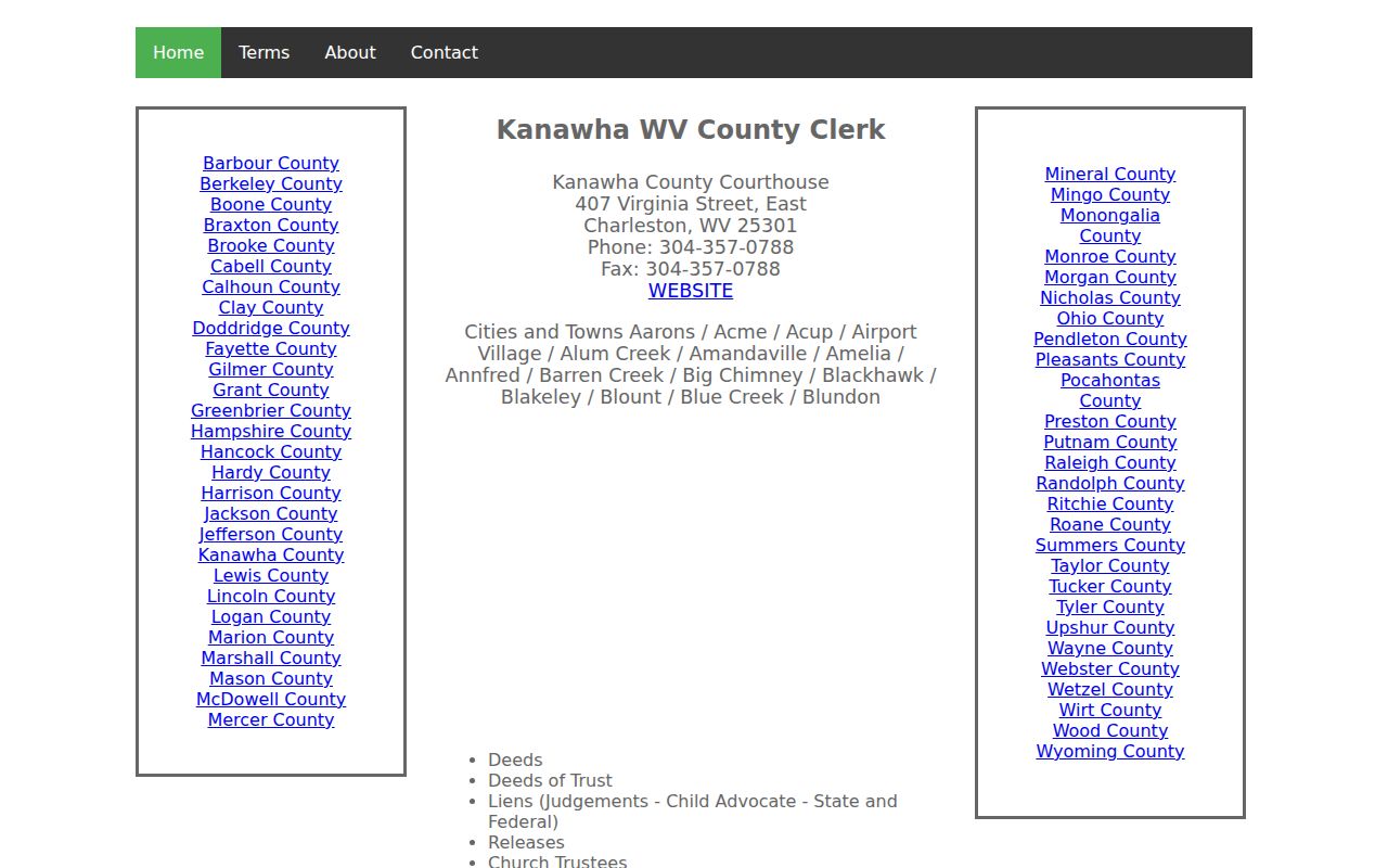
Use the instrument reference from this route when contacting the official record room at 304-357-0240. The provider displays a different phone number, so fees, authority, images, and coverage deserve direct confirmation before payment.
Dunbar Records Cross Two Cutoffs
The historical numbers give this address search a firm handoff point. The West Virginia State Archives county microfilm inventory lists Kanawha deed volumes from 1790 through 1910, grantor indexes from 1790 through 1946, and grantee indexes from 1795 through 1967. It also lists trust deeds, releases, leases, homestead books, and other land series. Those dates describe Archives holdings, not the online vendor's cutoff and not a guarantee that each Dunbar item survives.
At the same time, the Kanawha historical land-book viewer states that books from 1791 through 1962 are online while other years are being scanned. Land books provide an assessment trail. They are not a substitute for the transfer instrument. The screenshot shows the year, book or district, and page controls available for moving through that older tax record.
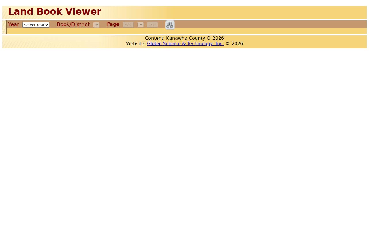
This split between a growing digital set and a stable microfilm guide is practical. Record the access date and visible range with every citation. Kanawha property-record scanning received grant support in 2024 to 2025, and a later grant application appeared in 2026, so the portal may gain material without changing the older Archives finding aid.
Dunbar Street Numbers Need Proof
Dunbar was laid out in 1919 and incorporated in 1921. Its municipal charter gave the council power to name or change streets and regulate house numbering or renumbering. That is a strong reason to question a mismatch. It is not proof that one citywide renumbering happened in a known year, because the research found no dated conversion table or ordinance.
When an early listing seems to vanish, preserve its printed house number and street spelling. Compare the legal description, parcel map, council minutes, ordinances, and historic map instead of silently changing the address. The physical lot may remain the same while the public label changes. City-created records can be requested through the Dunbar City Clerk by a specific street, date span, ordinance, or meeting record.
Note: An old and modern address that look alike are not a match until the lot, map, ordinance, or deed language connects them.
Place Dunbar Past Residents Beside Owners
Ownership is only half of a house history. KCPL's Polk collection covers Charleston and neighboring suburbs, including Dunbar as a target, and is described as spanning 1908 to present. The books are available on the Main Library's third floor and cannot be checked out or placed on hold. Because no public Dunbar entry was captured, check the key in each volume before interpreting initials, spouse marks, occupations, or a reverse street section.
Build a dated household row from the exact printed name, address, volume, year, page, and notation. Then compare the years before and after it. A missing entry may reflect an omitted year, a spelling change, a move, or a death. It does not prove the date someone left. Details of the shelf and entry method belong on the Dunbar city directory page.
A short sequence keeps the sources in their proper roles:
- Copy the directory entry exactly, including initials and the printed place label.
- Check the nearest public census schedule and record the enumeration date, household, and location.
- Compare the person and date with the deed chain, but label listed occupant and recorded owner separately.
- Search the newspaper and probate routes for an event that explains a gap or transfer.
Map Dunbar Previous Residents' Setting
The Library of Congress has a free September 1933 Dunbar Sanborn set with nine sheets. A sheet can show street layout, a building footprint, construction details, and labeled public or commercial uses. It cannot supply the name of an ordinary resident. Pair it with a 1930 directory or census result to test whether the building context fits the address.
West Virginia Archives microfilm for the Dunbar Advance adds event evidence around a move, death, sale, or civic role. Verified runs cover parts of 1917 to 1919, the year 1921, 1927 to 1931, and 1937 to 1940. These runs are not continuous. Search a surname, the exact street spelling, an industry or bridge term, an obituary, or a legal notice, and note the issue searched even when it yields nothing.
Extend Dunbar Address History Offline
Dunbar has no verified public permit index. A specific request to the Building Inspector can still connect a project to its property address, owner, type of work, description, contractor, cost, and request or decision dates. The current permit form expires after six months unless another term is stated. A vacant-building form can add the address, tax map and parcel, status, utilities, owner or entity, and local agent. These filings support a date; they do not prove who slept in the building.
Probate can close the trail when an owner died. The Kanawha fiduciary office handles estates, wills, heir affidavits, and settlements, and asks callers to arrange an appointment at 304-357-0125. Probate is filed where the person resided at death and can explain a later transfer or identify heirs. It is not an open household directory, so request a named estate or file rather than a broad list.
Finish Dunbar Previous-Resident Research
When the online trail stops, call or visit the Kanawha County Clerk record room at 409 Virginia Street East in Charleston, weekdays from 8 a.m. to 5 p.m. The Assessor's main line is 304-357-0250. The official county directory supplies mail and fax routes for narrow Clerk or Assessor requests; no verified public email for land-record copies was found. Dunbar Public Library can refer a researcher to KCPL's city directories and newspapers. The Archives research room at the Culture Center is open Tuesday through Saturday and handles research requests in writing, not by phone or email. Its published service has copy and limited-research fees, so give a name, record series, date, and book, page, roll, or address whenever possible.
A narrowly described non-exempt city or county record may also be requested under the West Virginia Freedom of Information Act. Ask the custodian for the existing file, a defined date range, and the preferred delivery format. The law allows actual reproduction cost; it does not turn an office into a custom biography service.
Lawful use. Research previous residents for house history, family history, an estate, or personal curiosity. Never use an address trail to follow, threaten, intimidate, or harass a living person.